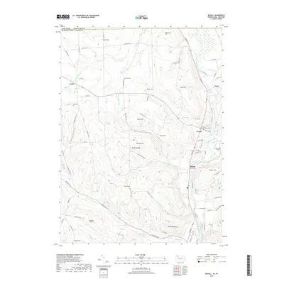
2019 Map of Russell
USGS Topo · Published 2019About this map
Conewango Creek defines the eastern valley of this borderland region, where the state line divides Chautauqua County, New York, from Warren County, Pennsylvania. The village of Russell serves as a central hub, situated near the creek's bend and the Pine Grove Cem. The landscape is characterized by a series of prominent rises and carved drainages, including Swede Hill, Skinner Hill, and Yankee Bush Hill, which suggest a history of upland farming and timbering. Small settlements like Lander and Akeley are connected by a network of rural roads such as Old State Rd and Jackson Run Rd.
Find a feature on this map
89 named features on this map. Tap any name to fly to it.
Don’t see what you’re looking for? This feature index may not catch every label — zoom into the map to look around manually.
Map Details
Editions of this 2019 Russell Map
This is the sole edition of this map. No revisions or reprints were ever made.
Other maps of this area

1904 · Chautaqua
USGS Topo · 1:62,500

1905 · Jamestown
USGS Topo · 1:62,500

1906 · Warren
USGS Topo · 1:62,500

1907 · Warren
USGS Topo · 1:62,500

1908 · Warren
USGS Topo · 1:62,500

1926 · Youngsville
USGS Topo · 1:62,500

1929 · Youngsville
USGS Topo · 1:62,500

1941 · Chautauqua
USGS Topo · 1:62,500

1942 · Jamestown
USGS Topo · 1:62,500

1943 · Youngsville
USGS Topo · 1:62,500