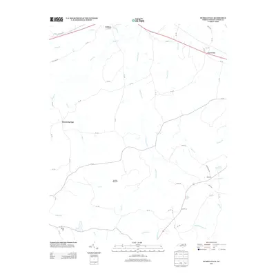
2013 Map of Russellville
USGS Topo · Published 2013About this map
Polkton and Russellville anchor the northern corridor of this Anson County landscape, situated along the primary east-west transportation artery. The terrain is defined by a dense network of drainage systems, including Brown Cr and the uniquely named Pinch Gut Cr, which carve through the Piedmont topography toward the larger basins in the south. High points such as Gordon Mountain and Becky Hill provide distinct landmarks in an area otherwise characterized by agricultural clearings and woodland patches.
Find a feature on this map
63 named features on this map. Tap any name to fly to it.
Don’t see what you’re looking for? This feature index may not catch every label — zoom into the map to look around manually.
Map Details
Editions of this 2013 Russellville Map
This is the sole edition of this map. No revisions or reprints were ever made.
Other maps of this area

1941 · Spartanburg
USGS Topo · 1:250,000

1953 · Spartanburg
USGS Topo · 1:250,000

1953 · Charlotte
USGS Topo · 1:250,000

1954 · Charlotte
USGS Topo · 1:250,000

1956 · Ansonville
USGS Topo · 1:24,000

1956 · Wadesboro
USGS Topo · 1:24,000

1960 · Charlotte
USGS Topo · 1:250,000

1960 · Spartanburg
USGS Topo · 1:250,000

1962 · Charlotte
USGS Topo · 1:250,000

1963 · Spartanburg
USGS Topo · 1:250,000