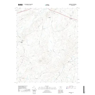
2019 Map of Russellville
USGS Topo · Published 2019About this map
Polkton and Russellville anchor this 2019 survey of northern Anson County, where the landscape is defined by the headwaters of the Jones Creek and Brown Creek systems. The map illustrates a rural Piedmont community structured around long-standing country roads like White Store Rd and State Rd 1246. Genealogists will find critical reference points in the documented locations of Mineral Springs Baptist Church and its associated cemetery, along with Camden Church Cem to the southeast.
Find a feature on this map
70 named features on this map. Tap any name to fly to it.
Don’t see what you’re looking for? This feature index may not catch every label — zoom into the map to look around manually.
Map Details
Editions of this 2019 Russellville Map
This is the sole edition of this map. No revisions or reprints were ever made.
Other maps of this area

1941 · Spartanburg
USGS Topo · 1:250,000

1953 · Spartanburg
USGS Topo · 1:250,000

1953 · Charlotte
USGS Topo · 1:250,000

1954 · Charlotte
USGS Topo · 1:250,000

1956 · Ansonville
USGS Topo · 1:24,000

1956 · Wadesboro
USGS Topo · 1:24,000

1960 · Charlotte
USGS Topo · 1:250,000

1960 · Spartanburg
USGS Topo · 1:250,000

1962 · Charlotte
USGS Topo · 1:250,000

1963 · Spartanburg
USGS Topo · 1:250,000