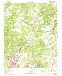
1971 Map of Russellville
USGS Topo · Published 1973About this map
The county seat of Russellville anchors this early 1970s survey, showing a landscape defined by industrial development and residential expansion into the surrounding hills. The city's core features the North Alabama Hospital, a Radio tower (WWR), and the Southern Railway depot that once facilitated the region's iron and timber transport. Modern suburban growth is evident in residential developments like Woodlawn Heights and Hester Heights, while the outskirts retain their rural character through numerous family-named landmarks and cemeteries like the Knights of Pythias Cem.
Find a feature on this map
81 named features on this map. Tap any name to fly to it.
Don’t see what you’re looking for? This feature index may not catch every label — zoom into the map to look around manually.
Map Details
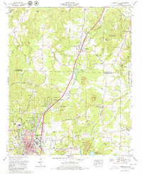
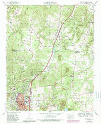
Editions of this 1971 Russellville Map
3 editions found
Other maps of this area

1924 · Tuscumbia
USGS Topo · 1:48,000

1925 · Barton
USGS Topo · 1:62,500

1926 · Tuscumbia
USGS Topo · 1:62,500

1926 · Barton
USGS Topo · 1:48,000

1929 · Barton
USGS Topo · 1:62,500

1936 · Russellville
USGS Topo · 1:24,000

1936 · Newburg
USGS Topo · 1:24,000

1936 · Frankfort
USGS Topo · 1:24,000

1936 · Isbell
USGS Topo · 1:24,000

1936 · Pride
USGS Topo · 1:24,000