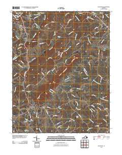
2010 Map of Rustburg
USGS Topo · Published 2010About this map
Rustburg serves as the focal point of this Campbell County landscape, situated near the headwaters of Mollys Creek and surrounded by numerous family cemeteries that testify to the area's deep genealogical roots. The terrain is defined by the prominent ridge of Long Mountain and the steep Wheeler Cliff overlooking the South Fork Falling River. In the early 21st century, the area shows a transition from rural homesteads to newer residential developments like Long Mountain Estates and Thomas Terrace. Water management is a visible priority throughout the quadrangle, with several private and utility dams including the Silver Spring Lake Dam, Lynch Dam, and the Patrick Upper Dam controlling the flow of local branches and creeks. Transportation follows historic corridors like Grist Mill Rd and Poor House Rd, while Breezy Knoll Airport provides a modern aerial connection to the region.
Find a feature on this map
86 named features on this map. Tap any name to fly to it.
Don’t see what you’re looking for? This feature index may not catch every label — zoom into the map to look around manually.
Map Details
Editions of this 2010 Rustburg Map
This is the sole edition of this map. No revisions or reprints were ever made.
Other maps of this area

1892 · Lynchburg
USGS Topo · 1:125,000

1892 · Appomattox
USGS Topo · 1:125,000

1944 · Lynchburg
USGS Topo · 1:62,500

1947 · Roanoke
USGS Topo · 1:250,000

1950 · Lynchburg
USGS Topo · 1:62,500

1956 · Brookneal
USGS Topo · 1:62,500

1956 · Gladys
USGS Topo · 1:62,500

1958 · Appomattox
USGS Topo · 1:62,500

1959 · Roanoke
USGS Topo · 1:250,000

1963 · Roanoke
USGS Topo · 1:250,000