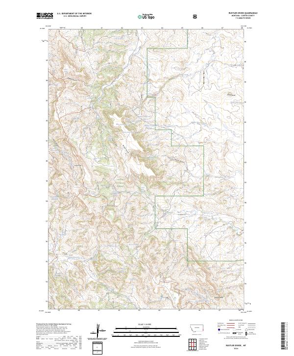
2024 Map of Rustler Divide
USGS Topo · Published 2024About this map
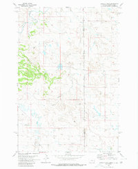
Custer National Forest dominates this landscape in Montana's far southeastern corner, where the high ridge of Rustler Divide separates several critical drainage basins. This modern topographic study reveals a complex network of springs and reservoirs that support life and livestock in this arid environment, including Abel Reservoir, Dead Horse Reservoir, and the trio of Mobray Reservoirs. The presence of numerous named springs, such as Coal Bank Spring and Jack Spring, suggests the vital importance of water sources across the forested slopes of the Long Pines area. A dense system of forest roads and trails, such as Devils Canyon Trl and Maverick Gulch Trl, provides access through the backcountry between Grassy Butte and Stormy Butte, mapping out the contemporary management and recreational use of these public lands.
Find a feature on this map
61 named features on this map. Tap any name to fly to it.
Don’t see what you’re looking for? This feature index may not catch every label — zoom into the map to look around manually.
Map Details
Editions of this 2024 Rustler Divide Map
This is the sole edition of this map. No revisions or reprints were ever made.
Other maps of this area

1954 · Ekalaka
USGS Topo · 1:250,000

1956 · Ekalaka
USGS Topo · 1:250,000

1958 · Ekalaka
USGS Topo · 1:250,000

1965 · Ekalaka
USGS Topo · 1:250,000

1980 · Belltower
USGS Topo · 1:24,000
1980 · Capitol Rock
USGS Topo · 1:24,000
1980 · Rustler Divide
USGS Topo · 1:24,000

1980 · Belltower Butte
USGS Topo · 1:24,000
1980 · Lampkin Gulch
USGS Topo · 1:24,000
1980 · Humbolt Hills
USGS Topo · 1:24,000