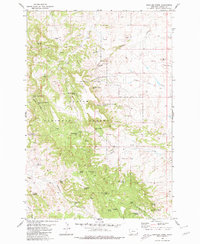
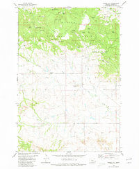
1980 Map of Rustler Divide
USGS Topo · Published 1980About this map
The high ridges of Rustler Divide dominate this 1980 survey of Carter County, where the landscape is defined by the management of water and timber within the Custer National Forest. The map documents a network of livestock or irrigation resources, including a string of family-named improvements such as Mowbray Reservoir No 1, Abel Reservoir, and Summers Reservoir. These water sources, alongside numerous named springs like Burditt Spring and Lantis Spring, indicate the ranching history of the region.
Find a feature on this map
55 named features on this map. Tap any name to fly to it.
Don’t see what you’re looking for? This feature index may not catch every label — zoom into the map to look around manually.
Map Details
Editions of this 1980 Rustler Divide Map
This is the sole edition of this map. No revisions or reprints were ever made.
Other maps of this area

1954 · Ekalaka
USGS Topo · 1:250,000

1956 · Ekalaka
USGS Topo · 1:250,000

1958 · Ekalaka
USGS Topo · 1:250,000

1965 · Ekalaka
USGS Topo · 1:250,000

1980 · Belltower
USGS Topo · 1:24,000
1980 · Capitol Rock
USGS Topo · 1:24,000

1980 · Belltower Butte
USGS Topo · 1:24,000
1980 · Lampkin Gulch
USGS Topo · 1:24,000
1980 · Humbolt Hills
USGS Topo · 1:24,000
1980 · Timber Hill
USGS Topo · 1:24,000