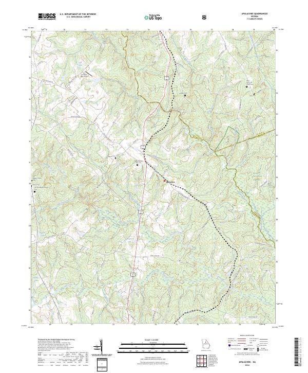
2024 Map of Rutledge South
USGS Topo · Published 2024About this map
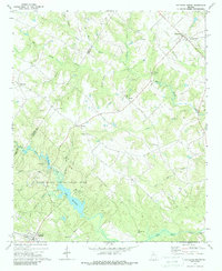
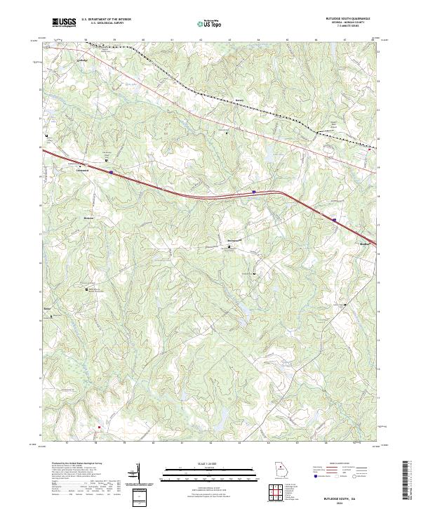
The rolling agricultural corridor of Morgan County is centered here around the crossing of Big Indian Creek and the historical Dixie Hwy. This landscape is defined by its small, scattered settlements and a high density of rural religious and family markers, such as the Macedonia Baptist Church Cem in Rutledge and the Low Mosley Chapel Cem near Centennial. These sites, along with the Cheney-Towns Cem, offer significant clues for genealogists tracking family lineages across this part of Georgia.
Find a feature on this map
84 named features on this map. Tap any name to fly to it.
Don’t see what you’re looking for? This feature index may not catch every label — zoom into the map to look around manually.
Map Details
Editions of this 2024 Rutledge South Map
This is the sole edition of this map. No revisions or reprints were ever made.
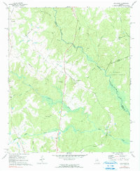
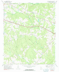
Historical Maps of Dickson Through Time
6 maps found