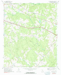
1972 Map of Rutledge South
USGS Topo · Published 1991About this map
Rutledge sits at the northern edge of this Morgan County landscape, where the Georgia railroad line and Georgia 12 278 carry traffic east toward the state's interior. The terrain is defined by a dense network of country churches that served rural congregations in the early 1970s, including Macedonia Ch, Mosleys Chapel, and Wallace Grove Ch. To the north, Hard Labor State Park borders the flowing waters of Hard Labor Creek. The map documents a predominantly agrarian settlement pattern, with smaller locales like Brownwood and Centennial linked by winding roads through the drainages of Rice Creek and Shoemaker Branch. Evidence of local industry appears at the Quarry near Campbell Creek, while a Lookout Tower stands as a prominent landmark on the high ground near Centennial.
Find a feature on this map
36 named features on this map. Tap any name to fly to it.
Don’t see what you’re looking for? This feature index may not catch every label — zoom into the map to look around manually.
Map Details
Editions of this 1972 Rutledge South Map
2 editions found
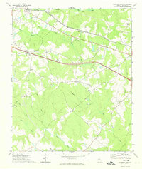
Other maps of this area

1896 · Monroe
USGS Topo · 1:125,000

1953 · Athens
USGS Topo · 1:250,000

1958 · Athens
USGS Topo · 1:250,000

1959 · Athens
USGS Topo · 1:250,000

1963 · Athens
USGS Topo · 1:250,000

1971 · Rutledge North
USGS Topo · 1:24,000
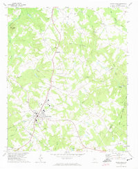
1971 · Social Circle
USGS Topo · 1:24,000

1972 · Shady Dale
USGS Topo · 1:24,000

1972 · Apalachee
USGS Topo · 1:24,000

1972 · Rock Eagle Lake
USGS Topo · 1:24,000