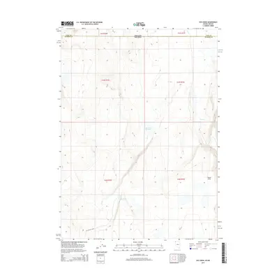
2015 Map of Rye Creek
USGS Topo · Published 2015About this map
The high desert borderlands between Washoe County, Nevada, and Lake County, Oregon, define this 2015 survey. This arid landscape is marked by isolated water management features like Rye Creek Reservoir and Racetrack Reservoir, which are vital for supporting the sparse ranching activity in the region. The map shows the Last Chance Ranch tucked into the southern portion of the quadrangle near the base of rising terrain. Drainage is defined by seasonal watercourses including Rye Cr and Catnip Cr, which flow toward the broad expanse of Guano Valley in the east. This survey illustrates the continued reliance on remote reservoirs and traditional ranching boundaries in a corner of the Great Basin where the state line meets the intersection of multiple township and range designations.
Find a feature on this map
14 named features on this map. Tap any name to fly to it.
Don’t see what you’re looking for? This feature index may not catch every label — zoom into the map to look around manually.
Map Details
Editions of this 2015 Rye Creek Map
This is the sole edition of this map. No revisions or reprints were ever made.
Other maps of this area

1889 · Long Valley
USGS Topo · 1:250,000

1954 · Vya
USGS Topo · 1:250,000

1955 · Adel
USGS Topo · 1:250,000

1957 · Adel
USGS Topo · 1:250,000

1958 · Vya
USGS Topo · 1:250,000

1958 · Adel
USGS Topo · 1:250,000

1962 · Vya
USGS Topo · 1:250,000

1962 · Adel
USGS Topo · 1:250,000

1966 · Catnip Canyon
USGS Topo · 1:24,000

1966 · Bald Mountain
USGS Topo · 1:24,000