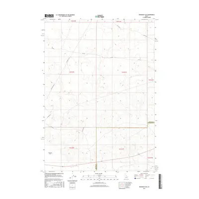
2017 Map of Ryegrass Flat
USGS Topo · Published 2017About this map
Ryegrass Flat characterizes this high-altitude landscape along the border of Butte and Bingham counties in the 21st century. The map reveals a structured grid of rural infrastructure, where long-distance thoroughfares like Stage Rd and Seven Mile Rd traverse the undulating terrain. This area is defined by its massive scale and systematic land division, indicated by various township and range markers such as t3n r30e and t2n r31e. The placement of Wilson Blvd and Jefferson Blvd suggests a planned approach to land access in a region otherwise dominated by open flats and natural relief. Researchers can observe how modern county boundaries and survey lines interact with the physical geography of the Snake River Plain hinterlands.
Find a feature on this map
16 named features on this map. Tap any name to fly to it.
Don’t see what you’re looking for? This feature index may not catch every label — zoom into the map to look around manually.
Map Details
Editions of this 2017 Ryegrass Flat Map
This is the sole edition of this map. No revisions or reprints were ever made.
Other maps of this area

1955 · Idaho Falls
USGS Topo · 1:250,000

1958 · Idaho Falls
USGS Topo · 1:250,000

1973 · Little Butte NW
USGS Topo · 1:24,000

1973 · Scoville
USGS Topo · 1:24,000

1973 · Middle Butte
USGS Topo · 1:24,000

1973 · Circular Butte 3 NE
USGS Topo · 1:24,000

1973 · Atomic City
USGS Topo · 1:24,000

1973 · Circular Butte 3 SW
USGS Topo · 1:24,000

1973 · Circular Butte 3 SE
USGS Topo · 1:24,000

1973 · Little Butte SW
USGS Topo · 1:24,000