
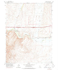
1962 Map of Ryndon
USGS Topo · Published 1964About this map
The Humboldt River carves a path through the Osno Hills and Elko Mtn in this early 1960s survey of Elko County. This particular stretch of the canyon highlights a critical transportation corridor where the Southern Pacific and Western Pacific railroads parallel the river, serving the small settlements of Ryndon and Elburz. The convergence of these rail lines with the North Fork Humboldt River and newly established infrastructure like the Ryndon Interchange illustrates the evolving logistics of the Great Basin during this era.
Find a feature on this map
26 named features on this map. Tap any name to fly to it.
Don’t see what you’re looking for? This feature index may not catch every label — zoom into the map to look around manually.
Map Details
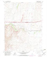
Editions of this 1962 Ryndon Map
3 editions found
Other maps of this area

1935 · Halleck
USGS Topo · 1:125,000

1955 · Wells
USGS Topo · 1:250,000

1955 · Elko
USGS Topo · 1:250,000

1957 · Elko East
USGS Topo · 1:24,000

1958 · Wells
USGS Topo · 1:250,000

1958 · Elko
USGS Topo · 1:250,000

1961 · Wells
USGS Topo · 1:250,000

1962 · Elko
USGS Topo · 1:250,000

1962 · Boyd Reservoir
USGS Topo · 1:24,000

1962 · Osino
USGS Topo · 1:24,000