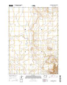
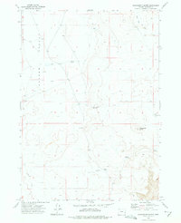
2014 Map of Sacramento Butte
USGS Topo · Published 2014About this map
Barren Valley defines the high desert character of this Malheur County landscape, where water management is central to the local geography. The map documents an extensive network of small-scale impoundments including Barren Basin Reservoir and a series of linked catchments further south: Upper Clark Reservoir, Lower Clark Reservoir, and Clark Reservoir. These features, along with ephemeral drainages like Burnt Flat Cr, illustrate the critical infrastructure required for ranching and land use in this arid region of Eastern Oregon.
Find a feature on this map
13 named features on this map. Tap any name to fly to it.
Don’t see what you’re looking for? This feature index may not catch every label — zoom into the map to look around manually.
Map Details
Editions of this 2014 Sacramento Butte Map
This is the sole edition of this map. No revisions or reprints were ever made.
Other maps of this area

1955 · Boise
USGS Topo · 1:250,000

1958 · Boise
USGS Topo · 1:250,000

1962 · Boise
USGS Topo · 1:250,000

1972 · Cedar Mountain
USGS Topo · 1:24,000
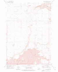
1972 · Wrangle Butte
USGS Topo · 1:24,000
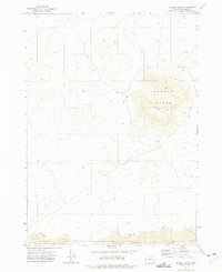
1972 · Saddle Butte
USGS Topo · 1:24,000
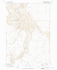
1972 · Lambert Rocks
USGS Topo · 1:24,000

1972 · Burnt Flat
USGS Topo · 1:24,000

1972 · Crowley
USGS Topo · 1:24,000
1972 · Sacramento Butte
USGS Topo · 1:24,000