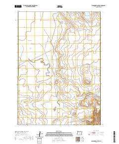
2020 Map of Sacramento Butte
USGS Topo · Published 2020About this map
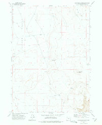
Barren Valley defines the western expanse of this high-desert landscape in Malheur County, where water management is central to the local geography. A series of water storage features, including Barren Basin Reservoir, Upper Clark Reservoir, and Lower Clark Reservoir, suggest a reliance on seasonal runoff to support the region's ranching economy. The eponymous Sacramento Butte rises as a prominent landmark in the southeastern quadrant, overlooking the intermittent drainage of Burnt Flat Cr. The road network is sparse but functional, centered on routes like Dry Lake Rd and Rinehart Ranch Rd that connect isolated ranching operations. The presence of Big Lake Reservoir near the eastern boundary further illustrates the infrastructure required for habitation and agriculture in this arid environment.
Find a feature on this map
14 named features on this map. Tap any name to fly to it.
Don’t see what you’re looking for? This feature index may not catch every label — zoom into the map to look around manually.
Map Details
Editions of this 2020 Sacramento Butte Map
This is the sole edition of this map. No revisions or reprints were ever made.
Other maps of this area

1955 · Boise
USGS Topo · 1:250,000

1958 · Boise
USGS Topo · 1:250,000

1962 · Boise
USGS Topo · 1:250,000

1972 · Cedar Mountain
USGS Topo · 1:24,000
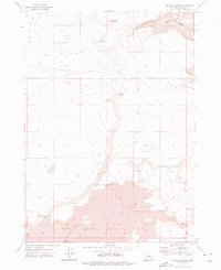
1972 · Wrangle Butte
USGS Topo · 1:24,000
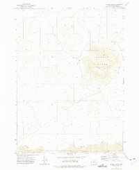
1972 · Saddle Butte
USGS Topo · 1:24,000
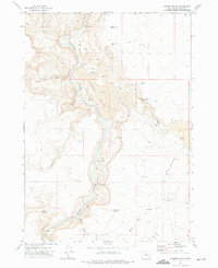
1972 · Lambert Rocks
USGS Topo · 1:24,000

1972 · Burnt Flat
USGS Topo · 1:24,000

1972 · Crowley
USGS Topo · 1:24,000
1972 · Sacramento Butte
USGS Topo · 1:24,000