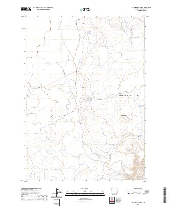
2023 Map of Sacramento Butte
USGS Topo · Published 2023About this map
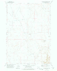
Sacramento Butte rises above a landscape defined by seasonal water management and the expansive Barren Valley in this modern survey of Malheur County. The terrain is marked by a network of ranching infrastructure, including the Barren Basin Reservoir and the Big Lake Reservoir. Remote access to the area is provided by unpaved tracks such as Dry Lake Rd and Tub Springs Rd, which connect the dry valley floor to higher ground. To the northeast, the drainage of Burnt Flat Creek cuts through the topography, while the Lower Clark Reservoir and Upper Clark Reservoir sit tucked into the eastern ridges. This map captures the current state of a sparsely populated Oregon cattle-ranching region where the movement of water and livestock dictates the local geography.
Find a feature on this map
14 named features on this map. Tap any name to fly to it.
Don’t see what you’re looking for? This feature index may not catch every label — zoom into the map to look around manually.
Map Details
Editions of this 2023 Sacramento Butte Map
This is the sole edition of this map. No revisions or reprints were ever made.
Other maps of this area

1955 · Boise
USGS Topo · 1:250,000

1958 · Boise
USGS Topo · 1:250,000

1962 · Boise
USGS Topo · 1:250,000

1972 · Cedar Mountain
USGS Topo · 1:24,000
1972 · Wrangle Butte
USGS Topo · 1:24,000
1972 · Saddle Butte
USGS Topo · 1:24,000
1972 · Lambert Rocks
USGS Topo · 1:24,000

1972 · Burnt Flat
USGS Topo · 1:24,000

1972 · Crowley
USGS Topo · 1:24,000
1972 · Sacramento Butte
USGS Topo · 1:24,000