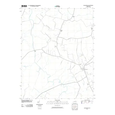
2010 Map of Sacramento
USGS Topo · Published 2010About this map
Sacramento serves as the primary hub in this western Kentucky landscape, situated amidst a network of agricultural lands and meandering waterways. The Pond River defines the western corridor of the area, joined by tributaries such as Elk Creek, Otter Creek, and Narge Creek. Local transport and connectivity are anchored by historic crossing points like Brazzel Bridge and Coffman Bridge, which facilitate movement between the scattered farmsteads and rural communities.
Find a feature on this map
42 named features on this map. Tap any name to fly to it.
Don’t see what you’re looking for? This feature index may not catch every label — zoom into the map to look around manually.
Map Details
Editions of this 2010 Sacramento Map
This is the sole edition of this map. No revisions or reprints were ever made.
Other maps of this area

1906 · Sutherland
USGS Topo · 1:62,500

1908 · Calhoun
USGS Topo · 1:62,500

1909 · Madisonville
USGS Topo · 1:62,500

1909 · Central City
USGS Topo · 1:62,500

1952 · Livermore
USGS Topo · 1:24,000

1952 · Sacramento
USGS Topo · 1:24,000

1952 · Calhoun
USGS Topo · 1:24,000

1952 · Beech Grove
USGS Topo · 1:24,000

1952 · Hanson
USGS Topo · 1:24,000

1953 · Madisonville East
USGS Topo · 1:24,000