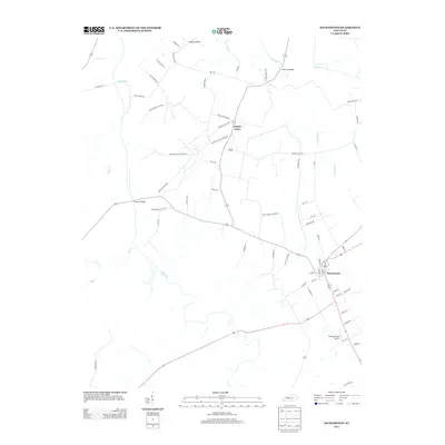
2013 Map of Sacramento
USGS Topo · Published 2013About this map
The Pond River defines the western edge of this region, winding through a landscape shaped by tributary networks like Elk Creek and Narge Creek. In the eastern portion, the settlement of Sacramento serves as a local hub, with its grid-like street patterns near Shannon Field Airport providing a contrast to the surrounding rural reaches. The northern area is punctuated by the small community of Poplar Grove and notable crossings such as Coffman Bridge over Cypress Creek. Extensive local road networks, often named for early families and schools, suggest a long history of land ownership and agricultural development. The abundance of drainage features, including the Pond Drain, highlights the hydrological management required for this lowland terrain in McLean County. This map provides a detailed view of the infrastructure and natural watercourses that have sustained these Kentucky communities into the early 21st century.
Find a feature on this map
61 named features on this map. Tap any name to fly to it.
Don’t see what you’re looking for? This feature index may not catch every label — zoom into the map to look around manually.
Map Details
Editions of this 2013 Sacramento Map
This is the sole edition of this map. No revisions or reprints were ever made.
Other maps of this area

1906 · Sutherland
USGS Topo · 1:62,500

1908 · Calhoun
USGS Topo · 1:62,500

1909 · Madisonville
USGS Topo · 1:62,500

1909 · Central City
USGS Topo · 1:62,500

1952 · Livermore
USGS Topo · 1:24,000

1952 · Sacramento
USGS Topo · 1:24,000

1952 · Calhoun
USGS Topo · 1:24,000

1952 · Beech Grove
USGS Topo · 1:24,000

1952 · Hanson
USGS Topo · 1:24,000

1953 · Madisonville East
USGS Topo · 1:24,000