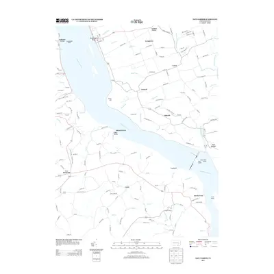
2013 Map of Safe Harbor
USGS Topo · Published 2013About this map
Susquehanna River dominates this portion of Lancaster County, carving a wide path past the high ground of Turkey Hill and the Conej ohela Valley. Along the eastern bank, long-established small communities like Washington Boro, Highville, and Letort are linked by a dense network of country roads, while the river itself is dotted with named landforms such as Indian Rock Island and Weise Island. The confluence of the Conestoga River at Safe Harbor highlights a landscape defined by significant watercourse drainage, including Fishing Cr and Otter Cr. Local agricultural and rural life is evident through landmarks like Star Rock Dairy and scattered settlements such as Lucky and New Bridgeville, showing a persistent pattern of small-scale townships and family-run operations that have defined this riverfront region for generations.
Find a feature on this map
160 named features on this map. Tap any name to fly to it.
Don’t see what you’re looking for? This feature index may not catch every label — zoom into the map to look around manually.
Map Details
Editions of this 2013 Safe Harbor Map
This is the sole edition of this map. No revisions or reprints were ever made.
Other maps of this area

1902 · Lancaster
USGS Topo · 1:62,500

1904 · Lancaster
USGS Topo · 1:62,500

1908 · Middletown
USGS Topo · 1:62,500

1908 · York
USGS Topo · 1:62,500

1910 · York
USGS Topo · 1:62,500

1912 · Mc Calls Ferry
USGS Topo · 1:62,500

1943 · Lancaster
USGS Topo · 1:62,500

1943 · Middletown
USGS Topo · 1:62,500

1943 · Mc Calls Ferry
USGS Topo · 1:62,500

1948 · Baltimore
USGS Topo · 1:250,000
Featured Places
- Conestoga Township, PA
- Lower Chanceford Township, PA
- Lower Windsor Township, PA
- Bridgeville, Chanceford Township
- Letort, Manor Township