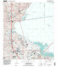
2024 Map of Safety Harbor
USGS Topo · Published 2024About this map
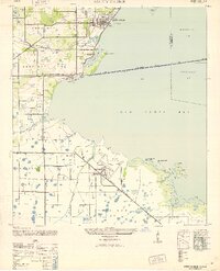
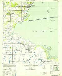
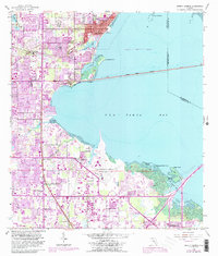
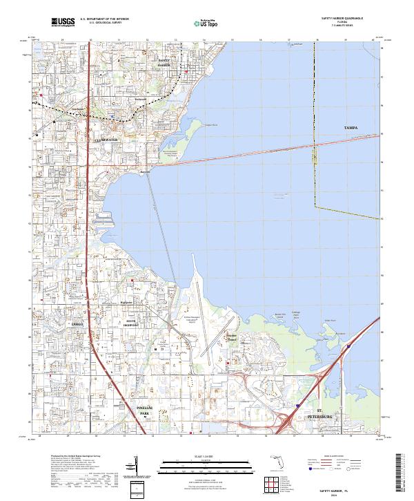
The Pinellas County coastline along Old Tampa Bay is defined by a dense network of suburban development and critical infrastructure. Centered on the city of Safety Harbor, this area shows the heavy integration of transportation and educational hubs, anchored by the St Pete-Clearwater International Airport and the Pinellas County Justice Center. The map captures the transition from the residential streets of Dellwood and Coachman to the industrialized corridors of Pinellas Park.
Find a feature on this map
217 named features on this map. Tap any name to fly to it.
Don’t see what you’re looking for? This feature index may not catch every label — zoom into the map to look around manually.
Map Details
Editions of this 2024 Safety Harbor Map
This is the sole edition of this map. No revisions or reprints were ever made.
Historical Maps of Parkwood Estates Through Time
6 maps found