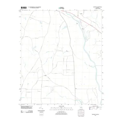
2011 Map of Saffold
USGS Topo · Published 2011About this map
Crosby and Lucy anchor the Alabama side of this riverine landscape, where agricultural fields are divided by a network of local roads such as Pilgrim Church Rd and Fire Department Rd. The Chattahoochee River serves as the primary geographic border, with Saffold situated on the Georgia bank. Along the river, historical and practical infrastructure points like Bryants Landing, Navy Yard Landing, and the Billy Byrd Dam reflect the long-standing significance of the waterway for transport and utility. The inclusion of Confederate Naval Yard Rd alludes to the region's deep historical ties to 19th-century river defense. Several tributaries, including Irwin Mill Creek and Cypress Creek, drain the surrounding lowlands, while landmarks like Long Pond punctuate the rural terrain near the southern boundary.
Find a feature on this map
41 named features on this map. Tap any name to fly to it.
Don’t see what you’re looking for? This feature index may not catch every label — zoom into the map to look around manually.
Map Details
Editions of this 2011 Saffold Map
This is the sole edition of this map. No revisions or reprints were ever made.
Other maps of this area

1952 · Malone
USGS Topo · 1:24,000

1952 · Bascom
USGS Topo · 1:24,000

1953 · Dothan
USGS Topo · 1:250,000

1954 · Dothan
USGS Topo · 1:250,000

1954 · Steam Mill
USGS Topo · 1:24,000

1954 · Tallahassee
USGS Topo · 1:250,000

1955 · Dothan
USGS Topo · 1:250,000

1959 · Tallahassee
USGS Topo · 1:250,000

1960 · Tallahassee
USGS Topo · 1:250,000

1970 · Gordon
USGS Topo · 1:24,000