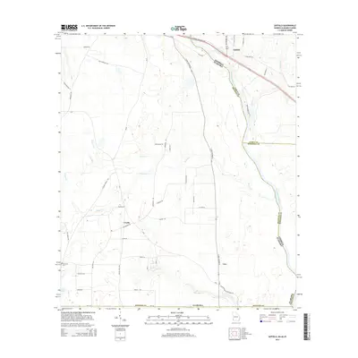
2014 Map of Saffold
USGS Topo · Published 2014About this map
The Chattahoochee River defines the winding border between Alabama and Georgia in this 2014 survey of Houston and Early counties. The landscape is marked by the small settlements of Saffold, Crosby, and Lucy, connected by a network of rural roads such as Pilgrim Church Rd and Saffold Rd. The topography is shaped by numerous waterways feeding the main river, including Cypress Cr, Bryans Cr, and Irwin Mill Cr.
Find a feature on this map
58 named features on this map. Tap any name to fly to it.
Don’t see what you’re looking for? This feature index may not catch every label — zoom into the map to look around manually.
Map Details
Editions of this 2014 Saffold Map
This is the sole edition of this map. No revisions or reprints were ever made.
Other maps of this area

1952 · Malone
USGS Topo · 1:24,000

1952 · Bascom
USGS Topo · 1:24,000

1953 · Dothan
USGS Topo · 1:250,000

1954 · Dothan
USGS Topo · 1:250,000

1954 · Steam Mill
USGS Topo · 1:24,000

1954 · Tallahassee
USGS Topo · 1:250,000

1955 · Dothan
USGS Topo · 1:250,000

1959 · Tallahassee
USGS Topo · 1:250,000

1960 · Tallahassee
USGS Topo · 1:250,000

1970 · Gordon
USGS Topo · 1:24,000