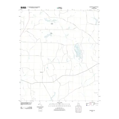
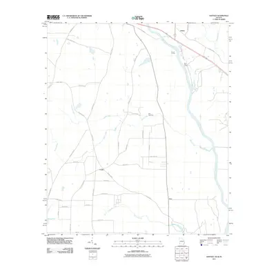
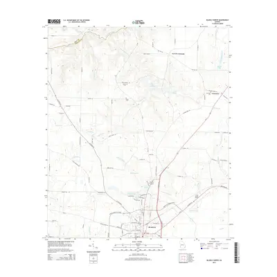
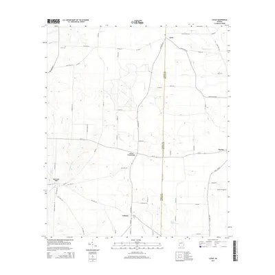
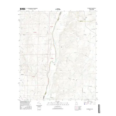
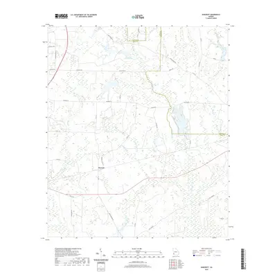
1970 Map of Saffold
USGS Topo · Published 1981About this map
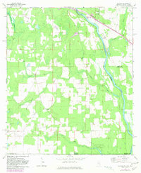
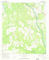
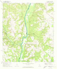
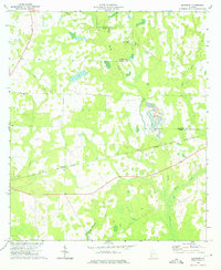
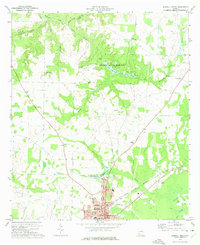
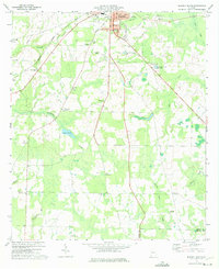
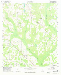
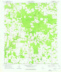
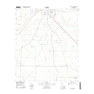
The Chattahoochee River defines the border between Georgia and Alabama in this 1970s-era survey, where the river's path is marked by numerous landings and tributaries like Cypress Creek and Bryans Creek. The landscape transition from the swampy lowlands of Long Pond to the upland plains is dotted with numerous rural congregations, including Bethlehem Ch, Antioch Ch, and St Johns Ch. Industrial activity is evident near Saffold and Kirkland, where the Seaboard Coast Line railroad crosses the river, supported by several local sand and gravel pits. Downstream, Chattahoochee State Park occupies a large bend in the river near the tri-state junction with Florida, anchoring a region where agricultural fields are divided by historic routes like The Turnpike and the Base Line.
Find a feature on this map
31 named features on this map. Tap any name to fly to it.
Don’t see what you’re looking for? This feature index may not catch every label — zoom into the map to look around manually.
Map Details
Editions of this 1970 Saffold Map
2 editions found
Historical Maps of Crosby Through Time
42 maps found
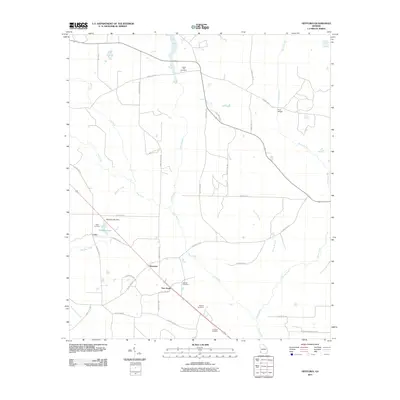
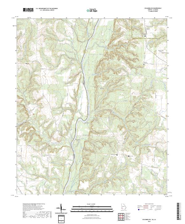
1970 Columbia NE
Early County, GA
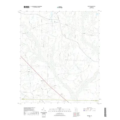
1970 Saffold
Early County, GA
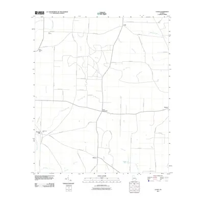
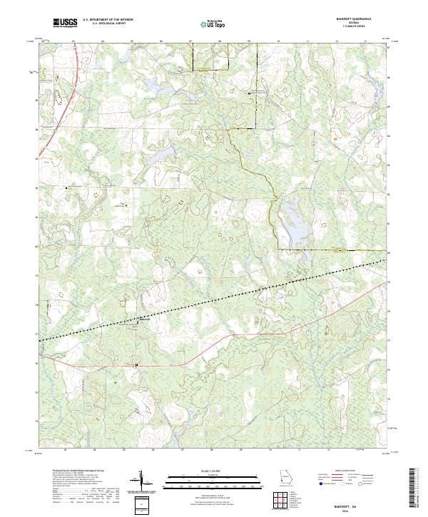
1973 Bancroft
Early County, GA
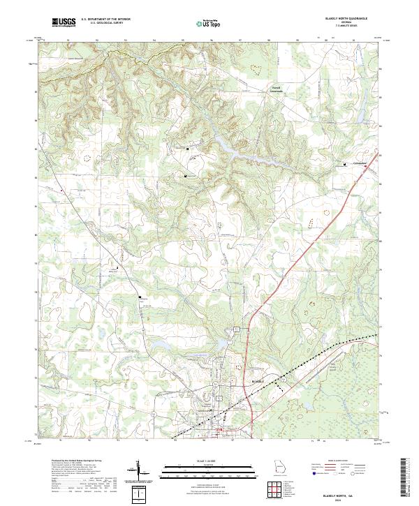
1973 Blakely North
Early County, GA
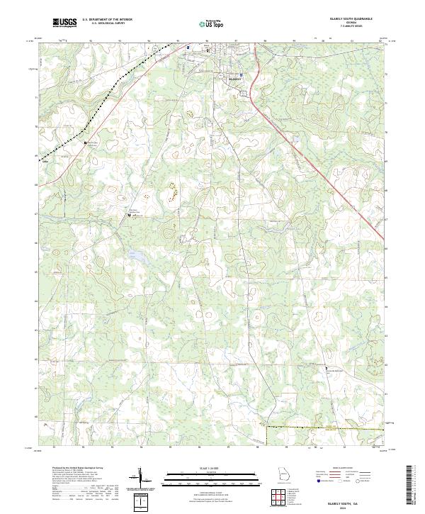
1973 Blakely South
Early County, GA
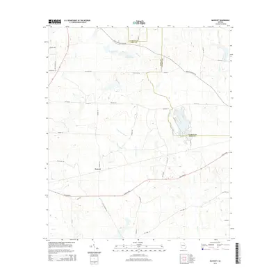
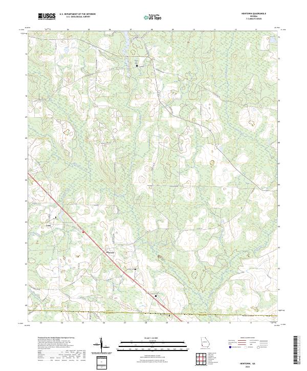
1973 Hentown
Early County, GA
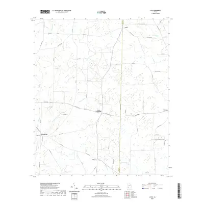
1974 Lucile
Early County, GA
2011 Bancroft
Early County, GA
2011 Blakely North
Early County, GA
2011 Blakely South
Early County, GA
2011 Columbia NE
Early County, GA
2011 Hentown
Early County, GA
2011 Lucile
Early County, GA
2011 Saffold
Early County, GA
2014 Bancroft
Early County, GA
2014 Blakely North
Early County, GA
2014 Blakely South
Early County, GA
2014 Columbia NE
Early County, GA
2014 Hentown
Early County, GA
2014 Lucile
Early County, GA
2014 Saffold
Early County, GA
2017 Bancroft
Early County, GA

2017 Blakely North
Early County, GA
2017 Blakely South
Early County, GA
2017 Columbia NE
Early County, GA
2017 Hentown
Early County, GA
2017 Lucile
Early County, GA
2017 Saffold
Early County, GA
2020 Bancroft
Early County, GA
2020 Blakely North
Early County, GA
2020 Blakely South
Early County, GA
2020 Columbia NE
Early County, GA
2020 Hentown
Early County, GA
2020 Lucile
Early County, GA
2020 Saffold
Early County, GA
2024 Bancroft
Early County, GA
2024 Blakely North
Early County, GA
2024 Blakely South
Early County, GA
2024 Columbia NE
Early County, GA
2024 Hentown
Early County, GA
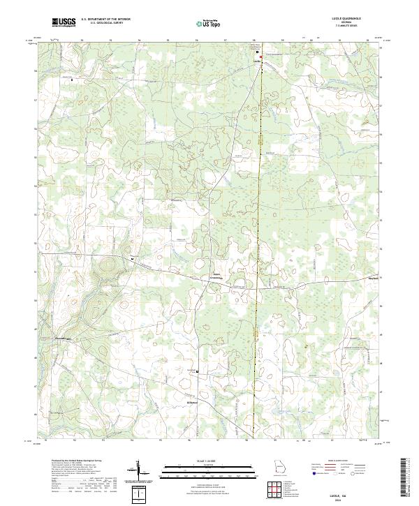
2024 Lucile
Early County, GA
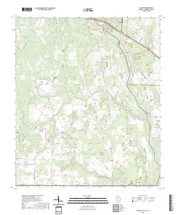
2024 Saffold
Early County, GA