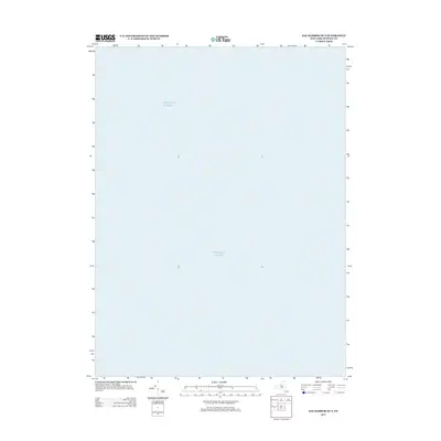
2013 Map of Sag Harbor OE S
USGS Topo · Published 2013About this map
The Atlantic Ocean dominates this maritime survey south of Long Island, providing a focused view of the open waters off the coast of Suffolk County. Produced by the U.S. Geological Survey in 2013, this sheet serves as a navigational and hydrographic record for the region south of Sag Harbor. While it contains no terrestrial landmarks or settlements, it offers precise coordinate data for the coastal waters where local fishing and maritime trade have long defined the economy of the surrounding Hamptons communities.
Find a feature on this map
1 named feature on this map. Tap any name to fly to it.
Don’t see what you’re looking for? This feature index may not catch every label — zoom into the map to look around manually.
Map Details
Editions of this 2013 Sag Harbor OE S Map
This is the sole edition of this map. No revisions or reprints were ever made.
Other maps of this area

1903 · Sag Harbor
USGS Topo · 1:62,500

1904 · Sag Harbor
USGS Topo · 1:62,500

1904 · Easthampton
USGS Topo · 1:62,500

1921 · Easthampton
USGS Topo · 1:62,500

1946 · Sag Harbor
USGS Topo · 1:24,000

1947 · Southampton
USGS Topo · 1:24,000
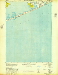
1947 · Shinnecock Bay
USGS Topo · 1:24,000
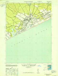
1947 · East Hampton
USGS Topo · 1:24,000

1949 · New York
USGS Topo · 1:250,000

1954 · New York
USGS Topo · 1:250,000