
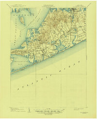
1904 Map of Sag Harbor
USGS Topo · Published 1904About this map
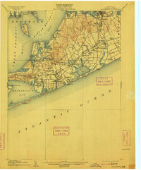
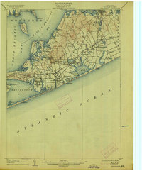
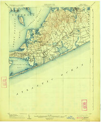
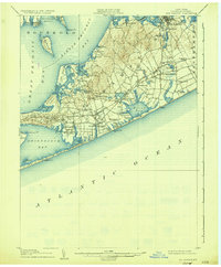
Sag Harbor and the surrounding townships of Southampton and Easthampton are captured here at the beginning of the twentieth century, showing a landscape defined by its maritime heritage and the arrival of the railroad. The Montauk Division of the Long Island Rail Road cuts across the South Fork, connecting established coastal villages like Bridgehampton and Water Mill with the growing resort and fishing communities. Along the southern coast, the presence of Life-Saving Stations such as Shinnecock L.S.S. and Southampton L.S.S. highlights the historical importance of sea rescue before modern navigation.
Find a feature on this map
86 named features on this map. Tap any name to fly to it.
Don’t see what you’re looking for? This feature index may not catch every label — zoom into the map to look around manually.
Map Details
Editions of this 1904 Sag Harbor Map
6 editions found
Other maps of this area

1903 · Sag Harbor
USGS Topo · 1:62,500

1903 · Gardiners Island
USGS Topo · 1:62,500

1903 · Riverhead
USGS Topo · 1:62,500

1904 · Shelter Island
USGS Topo · 1:62,500

1904 · Easthampton
USGS Topo · 1:62,500

1904 · Gardiners Island
USGS Topo · 1:62,500

1904 · Riverhead
USGS Topo · 1:62,500

1921 · Gardiners Island
USGS Topo · 1:62,500

1921 · Easthampton
USGS Topo · 1:62,500

1943 · Riverhead
USGS Topo · 1:62,500