
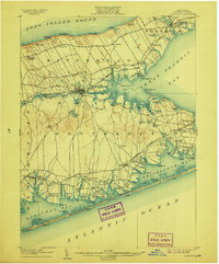
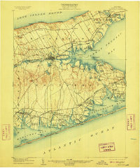
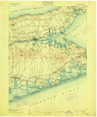
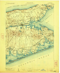
1904 Map of Riverhead
USGS Topo · Published 1904About this map
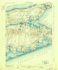
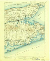
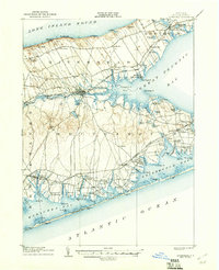
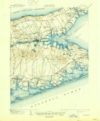
Riverhead sits at the headwaters of the Peconic River, serving as a central hub between the north and south forks of eastern Long Island. This early 20th-century landscape is defined by its maritime economy and the expansion of the Long Island R. R., which links agricultural hamlets like Aquebogue and Jamesport to the broader region. Along the Atlantic coast, the presence of several Life Saving Stations, including Tiana L.S.S. and Moriches L.S.S., underscores the era's reliance on coastal vigilance near the narrow barrier beaches of Shinnecock Bay.
Find a feature on this map
107 named features on this map. Tap any name to fly to it.
Don’t see what you’re looking for? This feature index may not catch every label — zoom into the map to look around manually.
Map Details
Editions of this 1904 Riverhead Map
9 editions found
Other maps of this area

1903 · Sag Harbor
USGS Topo · 1:62,500

1903 · Riverhead
USGS Topo · 1:62,500

1904 · Sag Harbor
USGS Topo · 1:62,500

1904 · Shelter Island
USGS Topo · 1:62,500

1904 · Moriches
USGS Topo · 1:62,500

1943 · Riverhead
USGS Topo · 1:62,500

1947 · Mattituck
USGS Topo · 1:24,000

1947 · Mattituck Hills
USGS Topo · 1:24,000

1947 · Southold
USGS Topo · 1:24,000

1947 · Southampton
USGS Topo · 1:24,000