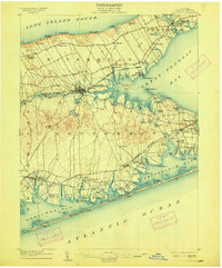
1904 Map of Riverhead
USGS Topo · Published 1915About this map
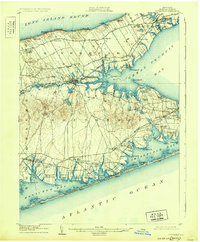
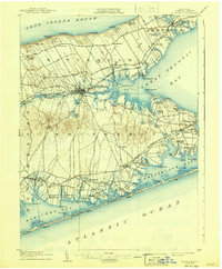
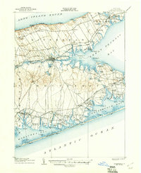
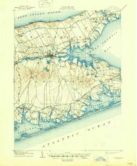
The Peconic River flows eastward through the heart of this coastal landscape, dividing the townships of Riverhead and Southampton before emptying into Flanders Bay. At the turn of the century, the region's geography is defined by its maritime economy and the expansion of the Long Island railroad. Small settlements like Aquebogue and Jamesport are established along the rail line, while the southern shoreline is dotted with critical maritime infrastructure, including the Quogue L.S.S. and Tiana L.S.S. life-saving stations.
Find a feature on this map
114 named features on this map. Tap any name to fly to it.
Don’t see what you’re looking for? This feature index may not catch every label — zoom into the map to look around manually.
Map Details
Editions of this 1904 Riverhead Map
9 editions found
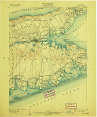
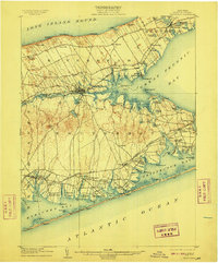
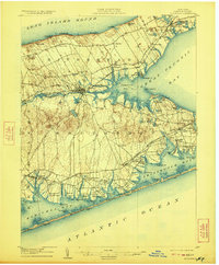
Other maps of this area

1903 · Sag Harbor
USGS Topo · 1:62,500

1903 · Riverhead
USGS Topo · 1:62,500

1904 · Sag Harbor
USGS Topo · 1:62,500

1904 · Shelter Island
USGS Topo · 1:62,500

1904 · Riverhead
USGS Topo · 1:62,500

1904 · Moriches
USGS Topo · 1:62,500

1943 · Riverhead
USGS Topo · 1:62,500

1947 · Mattituck
USGS Topo · 1:24,000

1947 · Mattituck Hills
USGS Topo · 1:24,000

1947 · Southold
USGS Topo · 1:24,000