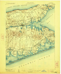
1904 Map of Riverhead
USGS Topo · Published 1923About this map
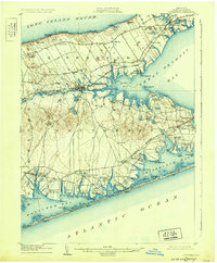
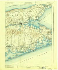
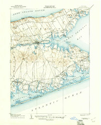
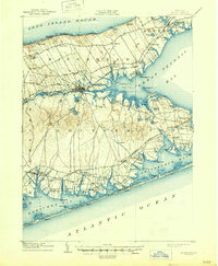
The Riverhead hub serves as the central focal point where the River Peconic meets tidal waters, anchoring a landscape defined by the narrow isthmus between the Long Island Sound and the sprawling Great Peconic Bay. This early twentieth-century survey details the complex maritime geography of the Peconic and Shinnecock regions, illustrating a network of coastal hamlets such as Baiting Hollow, Good Ground, and Speonk.
Find a feature on this map
97 named features on this map. Tap any name to fly to it.
Don’t see what you’re looking for? This feature index may not catch every label — zoom into the map to look around manually.
Map Details
Editions of this 1904 Riverhead Map
9 editions found
Other maps of this area

1903 · Sag Harbor
USGS Topo · 1:62,500

1903 · Riverhead
USGS Topo · 1:62,500

1904 · Sag Harbor
USGS Topo · 1:62,500

1904 · Shelter Island
USGS Topo · 1:62,500

1904 · Riverhead
USGS Topo · 1:62,500

1904 · Moriches
USGS Topo · 1:62,500

1943 · Riverhead
USGS Topo · 1:62,500

1947 · Mattituck
USGS Topo · 1:24,000

1947 · Mattituck Hills
USGS Topo · 1:24,000

1947 · Southold
USGS Topo · 1:24,000