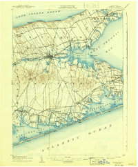
1904 Map of Riverhead
USGS Topo · Published 1941About this map
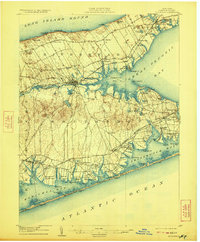
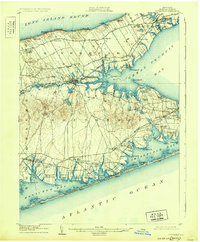
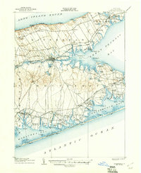
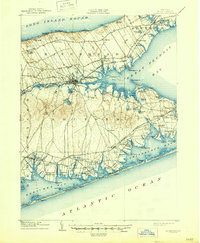
Riverhead serves as the focal point of this Eastern Long Island landscape, situated where the Peconic River meets Flanders Bay. The 1903 survey illustrates a region defined by its complex shoreline, stretching from Long Island Sound in the north to the Atlantic barrier beaches in the south. The Long Island Railroad cuts across the terrain, with its Montauk Division providing essential connectivity for settlements like Good Ground and Quogue Sta. during a period of agricultural and maritime transition. Life along the southern coast is marked by life-saving stations, such as Potunk L.S.S. and Tiana L.S.S., reflecting the era's reliance on coastal vigilance. The map preserves old place names and early road patterns through Six Roads and Canoe Place, offering a clear view of the South Fork before modern suburbanization altered the traditional rural and maritime character of Southampton and Riverhead townships.
Find a feature on this map
98 named features on this map. Tap any name to fly to it.
Don’t see what you’re looking for? This feature index may not catch every label — zoom into the map to look around manually.
Map Details
Editions of this 1904 Riverhead Map
9 editions found
Other maps of this area

1903 · Sag Harbor
USGS Topo · 1:62,500

1903 · Riverhead
USGS Topo · 1:62,500

1904 · Sag Harbor
USGS Topo · 1:62,500

1904 · Shelter Island
USGS Topo · 1:62,500

1904 · Riverhead
USGS Topo · 1:62,500

1904 · Moriches
USGS Topo · 1:62,500

1943 · Riverhead
USGS Topo · 1:62,500

1947 · Mattituck
USGS Topo · 1:24,000

1947 · Mattituck Hills
USGS Topo · 1:24,000

1947 · Southold
USGS Topo · 1:24,000