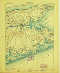
1904 Map of Riverhead
USGS Topo · Published 1907About this map
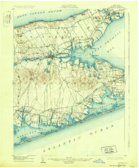
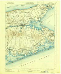
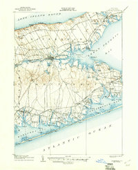
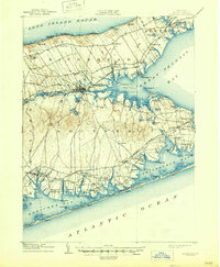
Riverhead serves as the focal point of this Eastern Long Island landscape, situated where the Peconic River empties into Flanders Bay. The map captures a maritime and agricultural corridor defined by its relationship to the water, from the north shore beaches at Baiting Hollow and Roanoke Landing to the barrier beaches along the Atlantic Ocean. The presence of life-saving stations like Tiana L.S.S. and Moriches L.S.S. underscores the importance of coastal safety along the outer sandbars of Shinnecock Bay. Settlement patterns follow the Long Island Railroad and its Montauk Division, which provided critical connections for villages like Good Ground, Speonk, and Jamesport. The Shinnecock Canal at Canoe Place is a prominent engineering feature, linking the great bay system to the south shore waters, while interior landmarks like Bald Hill offer perspective over the sprawling pine barrens and tidal creeks.
Find a feature on this map
112 named features on this map. Tap any name to fly to it.
Don’t see what you’re looking for? This feature index may not catch every label — zoom into the map to look around manually.
Map Details
Editions of this 1904 Riverhead Map
9 editions found
Other maps of this area

1903 · Sag Harbor
USGS Topo · 1:62,500

1903 · Riverhead
USGS Topo · 1:62,500

1904 · Sag Harbor
USGS Topo · 1:62,500

1904 · Shelter Island
USGS Topo · 1:62,500

1904 · Riverhead
USGS Topo · 1:62,500

1904 · Moriches
USGS Topo · 1:62,500

1943 · Riverhead
USGS Topo · 1:62,500

1947 · Mattituck
USGS Topo · 1:24,000

1947 · Mattituck Hills
USGS Topo · 1:24,000

1947 · Southold
USGS Topo · 1:24,000