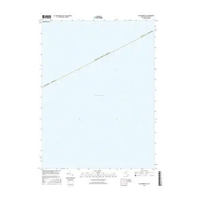
2016 Map of Sag Harbor OE S
USGS Topo · Published 2016About this map
The vast waters of the Atlantic Ocean dominate this coastal survey, which captures the maritime boundary just off the shores of Southampton. Located along the southern coast of Long Island, this specific area represents the transition from the land-based settlements of Suffolk County into the open sea. While the map is primarily a marine study, it clearly delineates the maritime borders of the United States of America and the jurisdictional limits of New York. For those studying the geography of the East End, the map provides a precise look at the coordinates and boundary lines that define the nautical approach to one of New York's most famous coastal reaches.
Find a feature on this map
5 named features on this map. Tap any name to fly to it.
Don’t see what you’re looking for? This feature index may not catch every label — zoom into the map to look around manually.
Map Details
Editions of this 2016 Sag Harbor OE S Map
This is the sole edition of this map. No revisions or reprints were ever made.
Other maps of this area

1903 · Sag Harbor
USGS Topo · 1:62,500

1904 · Sag Harbor
USGS Topo · 1:62,500

1904 · Easthampton
USGS Topo · 1:62,500

1921 · Easthampton
USGS Topo · 1:62,500

1946 · Sag Harbor
USGS Topo · 1:24,000

1947 · Southampton
USGS Topo · 1:24,000
1947 · Shinnecock Bay
USGS Topo · 1:24,000
1947 · East Hampton
USGS Topo · 1:24,000

1949 · New York
USGS Topo · 1:250,000

1954 · New York
USGS Topo · 1:250,000