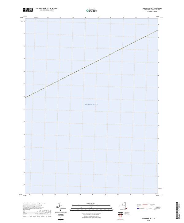
2023 Map of Sag Harbor OE S
USGS Topo · Published 2023About this map
Atlantic Ocean waters dominate this 2023 survey of the maritime area south of Sag Harbor. Produced by the U.S. Geological Survey, the map provides a look at the open sea in an era of shifting shorelines and modern oceanographic data collection. This specific quadrangle covers a section of the sea where maritime navigation and environmental monitoring are paramount. Because the area is entirely offshore, the map focuses on the vast expanse of the Atlantic, serving as a clean topographical baseline for this stretch of the New York coastline.
Find a feature on this map
1 named feature on this map. Tap any name to fly to it.
Don’t see what you’re looking for? This feature index may not catch every label — zoom into the map to look around manually.
Map Details
Editions of this 2023 Sag Harbor OE S Map
This is the sole edition of this map. No revisions or reprints were ever made.
Other maps of this area

1903 · Sag Harbor
USGS Topo · 1:62,500

1904 · Sag Harbor
USGS Topo · 1:62,500

1904 · Easthampton
USGS Topo · 1:62,500

1921 · Easthampton
USGS Topo · 1:62,500

1946 · Sag Harbor
USGS Topo · 1:24,000

1947 · Southampton
USGS Topo · 1:24,000
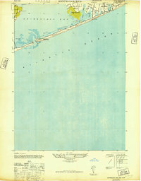
1947 · Shinnecock Bay
USGS Topo · 1:24,000
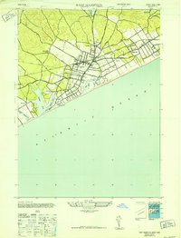
1947 · East Hampton
USGS Topo · 1:24,000

1949 · New York
USGS Topo · 1:250,000

1954 · New York
USGS Topo · 1:250,000