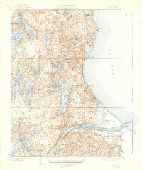
1940 Map of Sagamore
USGS Topo · Published 1942About this map
Cape Cod Canal serves as the dominant structural feature of this 1940s-era landscape, cutting through the terrain between Cape Cod Bay and Buzzards Bay. The mapping reflects a period of established coastal communities and recreational areas, from Sagamore Beach to the residential clusters at Cedarville and Sagamore Highlands. Just south of the canal, the New York New Haven and Hartford railroad parallels the waterway, linking the village of Sagamore with Sandwich.
Find a feature on this map
72 named features on this map. Tap any name to fly to it.
Don’t see what you’re looking for? This feature index may not catch every label — zoom into the map to look around manually.
Map Details
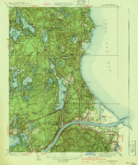
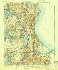
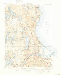
Editions of this 1940 Sagamore Map
4 editions found
Other maps of this area

1886 · Falmouth
USGS Topo · 1:62,500

1886 · Plymouth
USGS Topo · 1:62,500

1888 · Barnstable
USGS Topo · 1:62,500

1888 · Falmouth
USGS Topo · 1:62,500

1889 · Plymouth
USGS Topo · 1:62,500

1893 · Barnstable
USGS Topo · 1:62,500

1893 · Falmouth
USGS Topo · 1:62,500

1894 · Plymouth
USGS Topo · 1:62,500

1915 · Falmouth
USGS Topo · 1:62,500

1920 · Falmouth
USGS Topo · 1:62,500