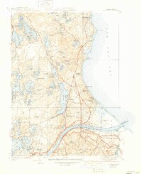
1940 Map of Sagamore
USGS Topo · Published 1942About this map
Sagamore and the Cape Cod Canal serve as the focal point of this 1940s landscape, illustrating the critical maritime and rail infrastructure connecting Buzzards Bay to Cape Cod Bay. The New York New Haven and Hartford railroad tracks parallel the canal, supporting a network of coastal settlements like Sagamore Beach, Sagamore Highlands, and Nameloc Heights. Inland, the terrain is defined by a dense concentration of glacial kettle ponds, including the expansive Long Pond and Halfway Pond, alongside the protected acreage of the Miles Standish State Forest.
Find a feature on this map
110 named features on this map. Tap any name to fly to it.
Don’t see what you’re looking for? This feature index may not catch every label — zoom into the map to look around manually.
Map Details
Editions of this 1940 Sagamore Map
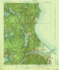
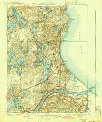
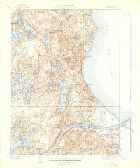
4 editions found
Other maps of this area

1886 · Falmouth
USGS Topo · 1:62,500

1886 · Plymouth
USGS Topo · 1:62,500

1888 · Barnstable
USGS Topo · 1:62,500

1888 · Falmouth
USGS Topo · 1:62,500

1889 · Plymouth
USGS Topo · 1:62,500

1893 · Barnstable
USGS Topo · 1:62,500

1893 · Falmouth
USGS Topo · 1:62,500

1894 · Plymouth
USGS Topo · 1:62,500

1915 · Falmouth
USGS Topo · 1:62,500

1920 · Falmouth
USGS Topo · 1:62,500