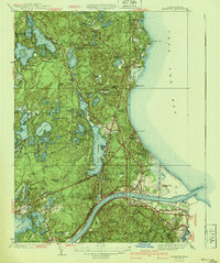
1940 Map of Sagamore
USGS Topo · Published 1940About this map
Great Herring Pond dominates the interior of this coastal landscape, situated just north of the recently completed waterway infrastructure. The map illustrates the industrial and transit-focused development of the early 1940s, anchored by the Cape Cod Canal and the New York New Haven and Hartford railroad line. Settlement patterns show established villages like Sagamore and Bournedale situated along the canal corridor, while the shoreline is dotted with vacation and residential clusters at Sagamore Beach and Ellisville. Inland, the terrain is defined by a dense network of freshwater ponds such as Long Pond and Bloody Pond, many of which supported local industries like Ellis Bog. Cultural heritage is preserved in the landscape through the Indian Cem near the southern shore of the great pond and the presence of the Myles Standish State Forest in the northwest, showcasing a mix of conservation, maritime commerce, and long-standing local community sites.
Find a feature on this map
92 named features on this map. Tap any name to fly to it.
Don’t see what you’re looking for? This feature index may not catch every label — zoom into the map to look around manually.
Map Details
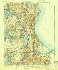
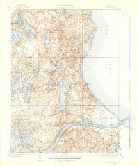
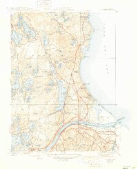
Editions of this 1940 Sagamore Map
4 editions found
Other maps of this area

1886 · Falmouth
USGS Topo · 1:62,500

1886 · Plymouth
USGS Topo · 1:62,500

1888 · Barnstable
USGS Topo · 1:62,500

1888 · Falmouth
USGS Topo · 1:62,500

1889 · Plymouth
USGS Topo · 1:62,500

1893 · Barnstable
USGS Topo · 1:62,500

1893 · Falmouth
USGS Topo · 1:62,500

1894 · Plymouth
USGS Topo · 1:62,500

1915 · Falmouth
USGS Topo · 1:62,500

1920 · Falmouth
USGS Topo · 1:62,500