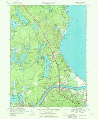
1967 Map of Sagamore
USGS Topo · Published 1970About this map
The Cape Cod Canal bisects this coastal landscape, serving as the dominant geographic and economic artery between the mainland and the peninsula. The 1960s infrastructure is well-defined, featuring Interchange 1 and the Mid-Cape Highway cutting through the northern reaches of Otis Air Force Base and the Shawme-Crowell State Forest. Coastal settlements such as Sagamore Beach and Ellisville are depicted alongside local landmarks like Harlows Landing and the Whitecliffs Country Club. Inland, the terrain is characterized by a dense network of glacial kettle ponds, including White Island Pond and Big Sandy Pond, many of which are surrounded by cranberry bogs. This edition provides a detailed look at the area's mid-century development, from the Sagamore Sch to the Pumping Sta in Bournedale, tracing the evolution of these historic seaside communities.
Find a feature on this map
104 named features on this map. Tap any name to fly to it.
Don’t see what you’re looking for? This feature index may not catch every label — zoom into the map to look around manually.
Map Details
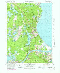
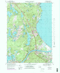
Editions of this 1967 Sagamore Map
3 editions found
Other maps of this area

1886 · Falmouth
USGS Topo · 1:62,500

1886 · Plymouth
USGS Topo · 1:62,500

1888 · Barnstable
USGS Topo · 1:62,500

1888 · Falmouth
USGS Topo · 1:62,500

1889 · Plymouth
USGS Topo · 1:62,500

1893 · Barnstable
USGS Topo · 1:62,500

1893 · Falmouth
USGS Topo · 1:62,500

1894 · Plymouth
USGS Topo · 1:62,500

1915 · Falmouth
USGS Topo · 1:62,500

1920 · Falmouth
USGS Topo · 1:62,500