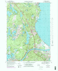
1967 Map of Sagamore
USGS Topo · Published 1979About this map
The Cape Cod Canal serves as the focal point of this coastal survey, bisecting the landscape between Bournedale and Sandwich. This waterway, flanked by the Sagamore Bridge and Bourne Bridge, reshaped the regional geography by connecting Buzzards Bay to Cape Cod Bay. Extensive cranberry bogs are scattered throughout the northern section, particularly near Ellisville and Cedarville, indicating the area's agricultural character during the late 20th century.
Find a feature on this map
92 named features on this map. Tap any name to fly to it.
Don’t see what you’re looking for? This feature index may not catch every label — zoom into the map to look around manually.
Map Details
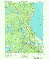
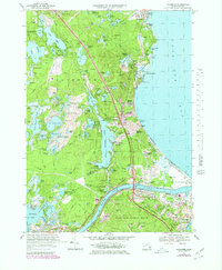
Editions of this 1967 Sagamore Map
3 editions found
Other maps of this area

1886 · Falmouth
USGS Topo · 1:62,500

1886 · Plymouth
USGS Topo · 1:62,500

1888 · Barnstable
USGS Topo · 1:62,500

1888 · Falmouth
USGS Topo · 1:62,500

1889 · Plymouth
USGS Topo · 1:62,500

1893 · Barnstable
USGS Topo · 1:62,500

1893 · Falmouth
USGS Topo · 1:62,500

1894 · Plymouth
USGS Topo · 1:62,500

1915 · Falmouth
USGS Topo · 1:62,500

1920 · Falmouth
USGS Topo · 1:62,500