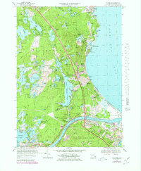
1967 Map of Sagamore
USGS Topo · Published 1979About this map
Sagamore sits at the northern gateway to Cape Cod, where the Sagamore Bridge spans the heavy maritime traffic of the Cape Cod Canal. This 1967 survey, updated with late-1970s photorevisions, illustrates the transition from traditional coastal settlements like Bournedale and Sandwich to modern infrastructure like the Mid-Cape Highway. The landscape is dominated by glacial kettle ponds and dense woodlands, including a portion of the Myles Standish State Forest and the northern edge of Otis Air Force Base.
Find a feature on this map
114 named features on this map. Tap any name to fly to it.
Don’t see what you’re looking for? This feature index may not catch every label — zoom into the map to look around manually.
Map Details
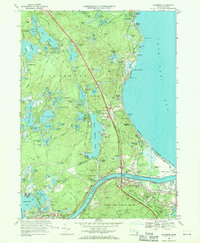
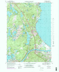
Editions of this 1967 Sagamore Map
3 editions found
Other maps of this area

1886 · Falmouth
USGS Topo · 1:62,500

1886 · Plymouth
USGS Topo · 1:62,500

1888 · Barnstable
USGS Topo · 1:62,500

1888 · Falmouth
USGS Topo · 1:62,500

1889 · Plymouth
USGS Topo · 1:62,500

1893 · Barnstable
USGS Topo · 1:62,500

1893 · Falmouth
USGS Topo · 1:62,500

1894 · Plymouth
USGS Topo · 1:62,500

1915 · Falmouth
USGS Topo · 1:62,500

1920 · Falmouth
USGS Topo · 1:62,500