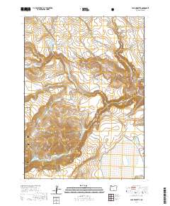
2020 Map of Sage Hen Butte
USGS Topo · Published 2020About this map
Sage Hen Butte rises as a central landmark in this high desert landscape of Lake County, where the eastern edges of the Fremont National Forest meet an intricate network of water resources and drainage. The terrain is defined by dramatic elevation changes, notably along Peddlers Ridge in the northwest and the deep canyon of Deep Creek to the southeast. This 2020 survey reveals a sophisticated system of water management and natural catchments essential for ranching and forest service operations, including the Wakefield Reservoir, Lane Reservoir Number One, and Big Lake.
Find a feature on this map
30 named features on this map. Tap any name to fly to it.
Don’t see what you’re looking for? This feature index may not catch every label — zoom into the map to look around manually.
Map Details
Editions of this 2020 Sage Hen Butte Map
This is the sole edition of this map. No revisions or reprints were ever made.
Other maps of this area

1955 · Klamath Falls
USGS Topo · 1:250,000

1955 · Adel
USGS Topo · 1:250,000

1957 · Adel
USGS Topo · 1:250,000

1958 · Klamath Falls
USGS Topo · 1:250,000

1958 · Adel
USGS Topo · 1:250,000

1962 · Adel
USGS Topo · 1:250,000

1967 · Priday Reservoir
USGS Topo · 1:24,000
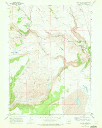
1968 · Sage Hen Butte
USGS Topo · 1:24,000

1968 · Crook Peak
USGS Topo · 1:24,000
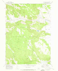
1968 · Horse Prairie
USGS Topo · 1:24,000