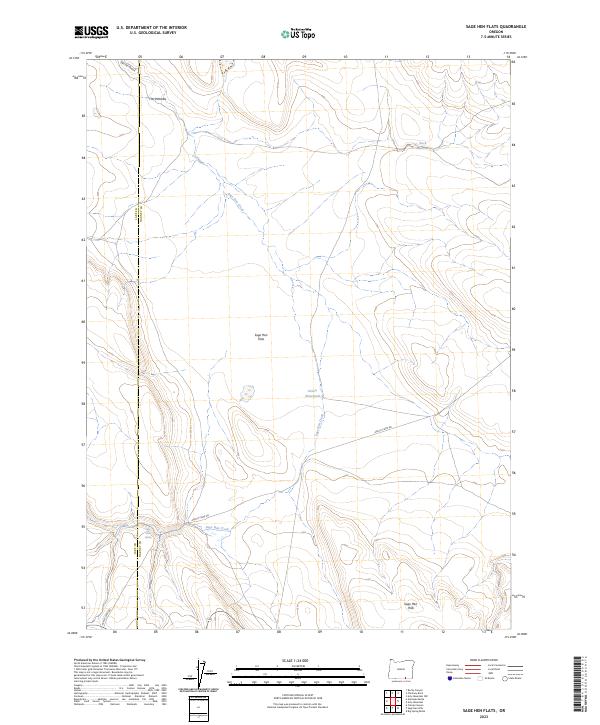
2023 Map of Sage Hen Flats
USGS Topo · Published 2023About this map
Sage Hen Flats defines the high plateau character of this section of the Oregon high desert, where water sources are vital markers on the landscape. The drainage of Sage Hen Creek winds through the center of the sheet, connecting localized water features like Dixon Waterhole and Rock Reservoir. These points of interest, along with Sage Hen Spring, illustrate the historical reliance on scattered water improvements for ranching and transit across the arid terrain.
Find a feature on this map
14 named features on this map. Tap any name to fly to it.
Don’t see what you’re looking for? This feature index may not catch every label — zoom into the map to look around manually.
Map Details
Editions of this 2023 Sage Hen Flats Map
This is the sole edition of this map. No revisions or reprints were ever made.
Other maps of this area

1889 · Long Valley
USGS Topo · 1:250,000

1954 · Vya
USGS Topo · 1:250,000

1955 · Adel
USGS Topo · 1:250,000

1957 · Adel
USGS Topo · 1:250,000

1958 · Vya
USGS Topo · 1:250,000

1958 · Adel
USGS Topo · 1:250,000

1962 · Vya
USGS Topo · 1:250,000

1962 · Adel
USGS Topo · 1:250,000

1966 · Catnip Canyon
USGS Topo · 1:24,000

1966 · Big Spring Butte
USGS Topo · 1:62,500