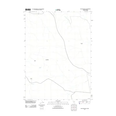
2011 Map of Sage Hen Hills
USGS Topo · Published 2011About this map
Sage Hen Hills dominate the high-desert landscape of this corner of Washoe County, where the Nevada-Oregon state line defines the northern boundary. The terrain is characterized by broad plateau formations like North Rock Springs Table and the distinctively named Horse Heaven, separated by dry drainage systems such as Catnip Canyon. This 2011 survey illustrates a sparsely populated region primarily managed for rangeland and conservation, where human presence is marked by scattered outposts and high-desert infrastructure. To the southeast, Gooch Camp represents the small-scale settlement patterns typical of this arid interior. The presence of North Lake provides a critical geographic reference point in a territory otherwise defined by rugged relief and seasonal watercourses.
Find a feature on this map
6 named features on this map. Tap any name to fly to it.
Don’t see what you’re looking for? This feature index may not catch every label — zoom into the map to look around manually.
Map Details
Editions of this 2011 Sage Hen Hills Map
This is the sole edition of this map. No revisions or reprints were ever made.
Other maps of this area

1889 · Long Valley
USGS Topo · 1:250,000

1954 · Vya
USGS Topo · 1:250,000

1955 · Adel
USGS Topo · 1:250,000

1957 · Adel
USGS Topo · 1:250,000

1958 · Vya
USGS Topo · 1:250,000

1958 · Adel
USGS Topo · 1:250,000

1962 · Vya
USGS Topo · 1:250,000

1962 · Adel
USGS Topo · 1:250,000

1966 · Catnip Canyon
USGS Topo · 1:24,000

1966 · Swan Lake
USGS Topo · 1:24,000