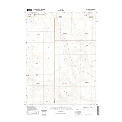
2015 Map of Sage Hen Hills
USGS Topo · Published 2015About this map
Catnip Mtn and the surrounding high desert terrain define this remote borderland where Northwest Nevada meets the Oregon state line. This high plateau region, documented in 2015, shows a landscape of scattered water sources and topographical landmarks including Horse Heaven and the Sage Hen Hills. Seasonal hydrology is evidenced by North Lake and Rock Spring, critical features in an arid environment traditionally used for open-range grazing. The map detail highlights the intersection of three counties—Washoe and Humboldt in Nevada, and Harney in Oregon—along with the expansive North Rock Springs Table and the deep cut of Catnip Canyon. Local transportation is limited to established routes such as NV-34a and CR-34a, which connect these isolated volcanic uplands.
Find a feature on this map
22 named features on this map. Tap any name to fly to it.
Don’t see what you’re looking for? This feature index may not catch every label — zoom into the map to look around manually.
Map Details
Editions of this 2015 Sage Hen Hills Map
This is the sole edition of this map. No revisions or reprints were ever made.
Other maps of this area

1889 · Long Valley
USGS Topo · 1:250,000

1954 · Vya
USGS Topo · 1:250,000

1955 · Adel
USGS Topo · 1:250,000

1957 · Adel
USGS Topo · 1:250,000

1958 · Vya
USGS Topo · 1:250,000

1958 · Adel
USGS Topo · 1:250,000

1962 · Vya
USGS Topo · 1:250,000

1962 · Adel
USGS Topo · 1:250,000

1966 · Catnip Canyon
USGS Topo · 1:24,000

1966 · Swan Lake
USGS Topo · 1:24,000