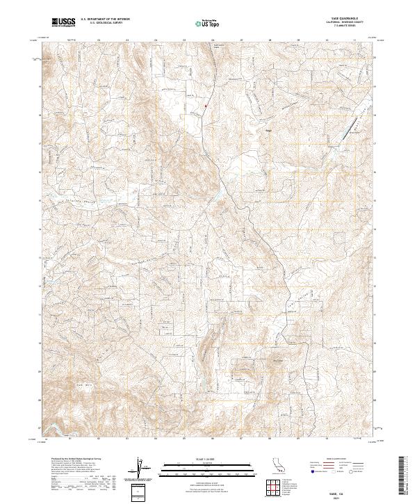
2021 Map of Sage
USGS Topo · Published 2021About this map
Sage and the surrounding high country of Riverside County are defined by a series of prominent peaks and protected valleys. The landscape is structured by significant terrain features like Black Mtn and Oak Mtn, which overlook the agricultural and residential pockets of Tucalota Valley and Glenoak Valley. Water sources, while sparse, are vital to this semi-arid environment, with Adobe Spring providing a critical hydrological point near the Tucalota Hills.
Find a feature on this map
179 named features on this map. Tap any name to fly to it.
Don’t see what you’re looking for? This feature index may not catch every label — zoom into the map to look around manually.
Map Details
Editions of this 2021 Sage Map
This is the sole edition of this map. No revisions or reprints were ever made.
Other maps of this area

1901 · Southern California Sheet No. 1
USGS Topo · 1:250,000

1901 · San Jacinto
USGS Topo · 1:125,000

1901 · Elsinore
USGS Topo · 1:125,000

1901 · San Luis Rey
USGS Topo · 1:125,000

1903 · Ramona
USGS Topo · 1:125,000

1904 · Southern California Sheet No. 2
USGS Topo · 1:250,000

1904 · Southern California Sheet No. 1
USGS Topo · 1:250,000

1939 · Palomar Mountain
USGS Topo · 1:62,500

1942 · Temecula
USGS Topo · 1:62,500

1942 · Hemet
USGS Topo · 1:62,500