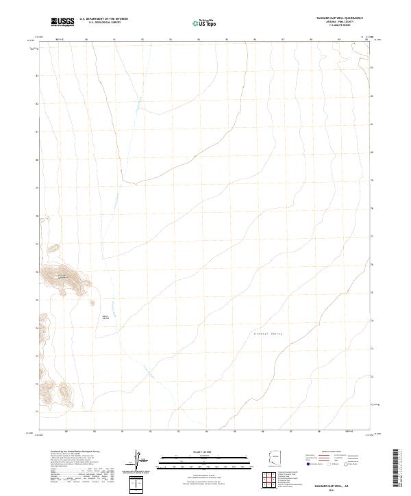
2021 Map of Saguaro Gap Well
USGS Topo · Published 2021About this map
Growler Wash serves as the primary drainage through this arid landscape, winding across the floor of the Growler Valley. In a region defined by its scarcity of surface water, the Saguaro Gap Well stands as a vital landmark between the valley and the rising slopes of the Granite Mountains to the west. This 2021 survey illustrates the stark, unpopulated character of Pima County's desert interior, where the terrain is organized by the large sections of the Public Land Survey System, including t13s r9w and its neighboring townships. The lack of modern infrastructure highlights the enduring environmental constraints of this part of the Sonoran Desert, where the topography is shaped by intermittent water courses and isolated mountain clusters.
Find a feature on this map
10 named features on this map. Tap any name to fly to it.
Don’t see what you’re looking for? This feature index may not catch every label — zoom into the map to look around manually.
Map Details
Editions of this 2021 Saguaro Gap Well Map
This is the sole edition of this map. No revisions or reprints were ever made.
Other maps of this area

1953 · Ajo
USGS Topo · 1:250,000

1957 · Ajo
USGS Topo · 1:250,000

1958 · Ajo
USGS Topo · 1:250,000

1962 · Ajo
USGS Topo · 1:250,000

1963 · Ajo
USGS Topo · 1:250,000

1964 · Growler Peak
USGS Topo · 1:62,500
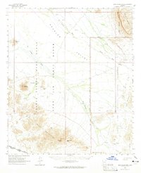
1964 · Agua Dulce Mts
USGS Topo · 1:62,500

1965 · O'Neill Hills
USGS Topo · 1:62,500

1965 · Granite Mountains
USGS Topo · 1:62,500

1967 · Ajo
USGS Topo · 1:250,000