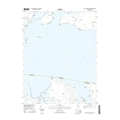
2014 Map of Saint Clements Island
USGS Topo · Published 2014About this map
Saint Clements Island sits as a historic sentinel in the Potomac River, marking a storied intersection of Maryland and Virginia maritime geography. This survey documents the complex shoreline where Saint Clements Bay and Breton Bay meet, characterized by a series of prominent necks and points including Newtown Neck and Medleys Neck. The landscape is defined by its relationship with the water, showing a network of protected coves like Branson Cove and Matthews Cove that have long supported the local fishing and boating economy.
Find a feature on this map
59 named features on this map. Tap any name to fly to it.
Don’t see what you’re looking for? This feature index may not catch every label — zoom into the map to look around manually.
Map Details
Editions of this 2014 Saint Clements Island Map
This is the sole edition of this map. No revisions or reprints were ever made.
Other maps of this area

1892 · Leonardtown
USGS Topo · 1:62,500

1892 · Piney Point
USGS Topo · 1:62,500

1892 · Montross
USGS Topo · 1:62,500

1894 · Wicomico
USGS Topo · 1:62,500

1894 · Piney Point
USGS Topo · 1:62,500

1895 · Wicomico
USGS Topo · 1:62,500

1895 · Leonardtown
USGS Topo · 1:62,500

1895 · Nomini
USGS Topo · 1:125,000

1895 · Piney Point
USGS Topo · 1:62,500

1895 · Montross
USGS Topo · 1:62,500