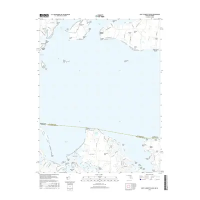
2016 Map of Saint Clements Island
USGS Topo · Published 2016About this map
Saint Clements Island sits at the heart of this coastal survey, marking the historic intersection of the Potomac River and Saint Celments Bay. The landscape is defined by its deep maritime geography, where Maryland and Virginia meet across the wide waters of Nomini Bay. On the northern shore, the community of Coltons Point overlooks the Dukeharts Channel, while the Virginia side features the established landing at Coles Point.
Find a feature on this map
95 named features on this map. Tap any name to fly to it.
Don’t see what you’re looking for? This feature index may not catch every label — zoom into the map to look around manually.
Map Details
Editions of this 2016 Saint Clements Island Map
This is the sole edition of this map. No revisions or reprints were ever made.
Other maps of this area

1892 · Leonardtown
USGS Topo · 1:62,500

1892 · Piney Point
USGS Topo · 1:62,500

1892 · Montross
USGS Topo · 1:62,500

1894 · Wicomico
USGS Topo · 1:62,500

1894 · Piney Point
USGS Topo · 1:62,500

1895 · Wicomico
USGS Topo · 1:62,500

1895 · Leonardtown
USGS Topo · 1:62,500

1895 · Nomini
USGS Topo · 1:125,000

1895 · Piney Point
USGS Topo · 1:62,500

1895 · Montross
USGS Topo · 1:62,500