2024 Map of Saint Francisville
USGS Topo · Published 2024About this map
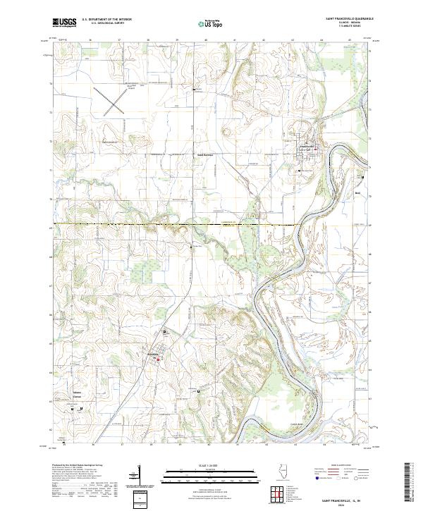
The Wabash River meanders along the Illinois and Indiana border, defining the eastern edge of this landscape where the town of St. Francisville sits atop the river bluffs. This riverine environment is characterized by intricate drainage systems like England Ditch and the Old Swan Pond Ditch, which feed into low-lying areas such as Swan Pond and Rapid Pond. The terrain transitions from the fertile bottomlands to the unique sandy elevations of the Sand Barrens, a notable geographical feature in the northern portion of the quadrangle.
Find a feature on this map
78 named features on this map. Tap any name to fly to it.
Don’t see what you’re looking for? This feature index may not catch every label — zoom into the map to look around manually.
Map Details
Editions of this 2024 Saint Francisville Map
This is the sole edition of this map. No revisions or reprints were ever made.
Historical Maps of Adams Corner Through Time
5 maps found