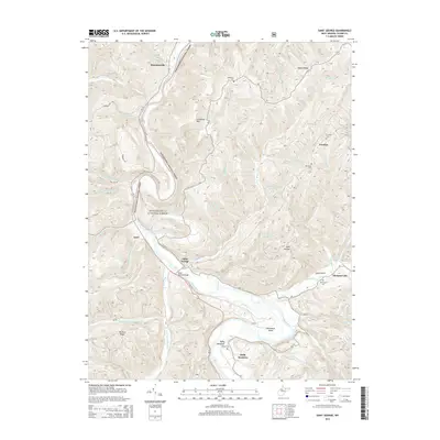
2014 Map of Saint George
USGS Topo · Published 2014About this map
The Cheat River carves a deep valley through the high ridges of Tucker County, creating the dramatic horseshoe-shaped meander known as Horseshoe Bend. On its western bank, the settlement of Saint George serves as a local focal point, connected to the surrounding heights by the Saint George Bridge. The terrain is characterized by steep summits like Limestone Mtn and Mt Zion Ridge, with numerous small runs and creeks such as Clover Run and Mineare Run draining the forested slopes.
Find a feature on this map
59 named features on this map. Tap any name to fly to it.
Don’t see what you’re looking for? This feature index may not catch every label — zoom into the map to look around manually.
Map Details
Editions of this 2014 Saint George Map
This is the sole edition of this map. No revisions or reprints were ever made.
Other maps of this area

1886 · St. George
USGS Topo · 1:125,000

1891 · St. George
USGS Topo · 1:125,000

1907 · Thornton
USGS Topo · 1:62,500

1907 · Kingwood
USGS Topo · 1:62,500

1907 · Belington
USGS Topo · 1:62,500

1908 · Parsons
USGS Topo · 1:62,500

1925 · Kingwood
USGS Topo · 1:62,500

1926 · Thornton
USGS Topo · 1:62,500

1926 · Parsons
USGS Topo · 1:62,500

1927 · Belington
USGS Topo · 1:62,500