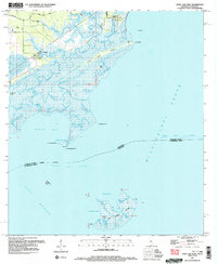
1994 Map of Saint Joe Pass
USGS Topo · Published 1995About this map
Half Moon Island and the intricate marshlands of the Mississippi-Louisiana border dominate this coastal survey. The landscape is defined by a dense network of tidal waterways, including Lighthouse Bayou, Three Bayou, and Redfish Bayou, which snake through the wetlands before emptying into Heron Bay and Saint Joe Pass. On the mainland, the settlements of Ansley and Lakeshore are connected by a series of quiet routes like Lower Bay Road, serving as small outposts on the edge of the Mississippi Sound.
Find a feature on this map
39 named features on this map. Tap any name to fly to it.
Don’t see what you’re looking for? This feature index may not catch every label — zoom into the map to look around manually.
Map Details
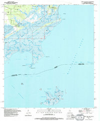
Editions of this 1994 Saint Joe Pass Map
2 editions found
Other maps of this area

1893 · Rigolets
USGS Topo · 1:62,500

1893 · Toulme
USGS Topo · 1:62,500

1914 · Nicholson
USGS Topo · 1:62,500

1921 · Nicholson
USGS Topo · 1:62,500

1935 · English Lookout
USGS Topo · 1:31,680

1935 · Grand Island Pass
USGS Topo · 1:31,680

1936 · Rigolets
USGS Topo · 1:62,500

1946 · Malheureux Point
USGS Topo · 1:31,680

1949 · Grand Island Pass
USGS Topo · 1:31,680
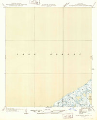
1949 · False Mouth Bayou
USGS Topo · 1:31,680