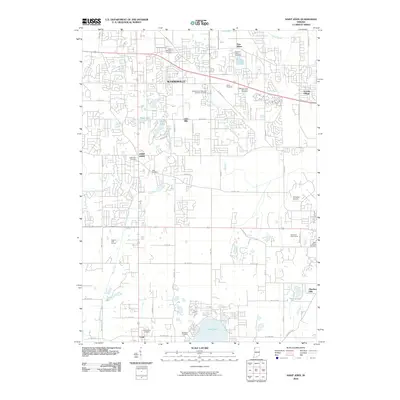
2010 Map of Saint John
USGS Topo · Published 2010About this map
Cedar Lake anchors the southern portion of this Lake County landscape, serving as a focal point for the surrounding residential developments and traditional settlements. The area shows a transition from the established centers of Schererville and Saint John to suburban neighborhoods like Lincoln Village and Hawthorn Hills. Genealogists will find a significant concentration of local history preserved in the numerous burial grounds scattered throughout, including Saint Michael's Cemetery, Saint John Cemetery, and Holy Name Cemetery. The map captures the infrastructure of the early 21st century, where residential expansion meets recreational and utility sites like the Illiana Racetrack and Klinedorf Airport. Waterways such as Turkey Creek and the Schererville Ditch define the drainage patterns of this increasingly developed corridor in Northwest Indiana.
Find a feature on this map
54 named features on this map. Tap any name to fly to it.
Don’t see what you’re looking for? This feature index may not catch every label — zoom into the map to look around manually.
Map Details
Editions of this 2010 Saint John Map
This is the sole edition of this map. No revisions or reprints were ever made.
Other maps of this area

1892 · Calumet
USGS Topo · 1:62,500

1893 · Calumet
USGS Topo · 1:62,500

1900 · Toleston
USGS Topo · 1:62,500

1900 · Calumet
USGS Topo · 1:62,500

1901 · Calumet
USGS Topo · 1:62,500

1929 · Calumet City
USGS Topo · 1:24,000

1929 · Dyer
USGS Topo · 1:24,000

1930 · Dyer
USGS Topo · 1:24,000

1949 · Crete
USGS Topo · 1:62,500

1953 · Leroy
USGS Topo · 1:24,000