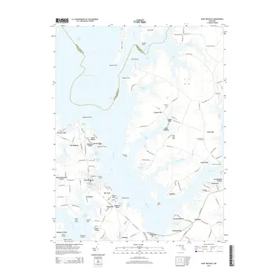
2014 Map of Saint Michaels
USGS Topo · Published 2014About this map
Saint Michaels sits at the heart of this coastal landscape, defined by the intricate waterways of the Chesapeake Bay's eastern shore. The geography is dominated by the Miles River and Broad Creek, which carve out a series of significant landforms including Wye Island and Miles River Neck. This 2014 survey reveals a dense pattern of waterfront settlements and housing developments, such as Gullwing Villas, Quail Hollow, and Swan Villas, reflecting the region's contemporary residential character.
Find a feature on this map
149 named features on this map. Tap any name to fly to it.
Don’t see what you’re looking for? This feature index may not catch every label — zoom into the map to look around manually.
Map Details
Editions of this 2014 Saint Michaels Map
This is the sole edition of this map. No revisions or reprints were ever made.
Other maps of this area

1892 · Annapolis
USGS Topo · 1:62,500

1893 · Sharps Island
USGS Topo · 1:62,500

1898 · Choptank
USGS Topo · 1:125,000

1904 · St. Michaels
USGS Topo · 1:62,500

1904 · Annapolis
USGS Topo · 1:62,500

1904 · Sharps Island
USGS Topo · 1:62,500

1904 · Oxford
USGS Topo · 1:62,500

1908 · Choptank
USGS Topo · 1:125,000

1942 · Tilghman
USGS Topo · 1:31,680

1942 · Oxford
USGS Topo · 1:31,680